
 stock photo.")
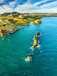
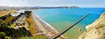
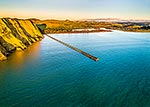
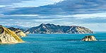
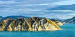
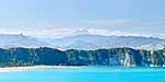
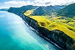
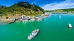
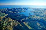
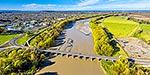
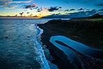
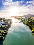
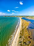
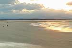
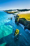
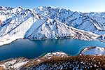
Tolaga Bay aerial panorama. Uawa River and township at left, Te Karaka and Marau points far right, Tolaga Bay, Gisborne District, Gisborne Region, New Zealand (NZ), stock photo.
- Location:
- Tolaga Bay (other locations)
- District:
- Gisborne (see districts)
- Region:
- Gisborne (see regions)
- Country:
- New Zealand (NZ)
- Notes:
- Large file (11001 x 3407 pixels native, no interpolation). | Ratio (height:width) 1:3.22
- Photographer:
- Rob Suisted
- Image #:
- 62980OP00
Keywords (advanced)
Related images


Similar images


Random images
")