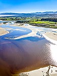
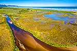
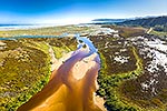
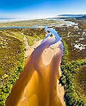
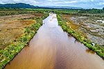
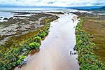
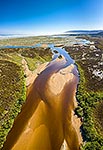
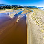
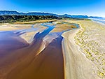
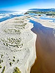
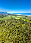
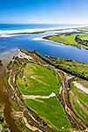
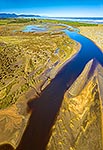
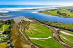
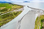
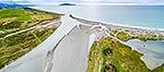
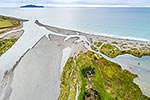
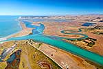
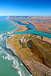
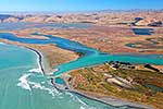
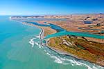
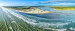
Karamea Otumahana Estuary and Granite Creek at Kongahu. Aerial view over estuary, sand bar and tidal wetland. Aerial view looking south, Karamea, Buller District, West Coast Region, New Zealand (NZ), stock photo.
These images are protected by copyright, but we license them to suit your needs. Click
'quick quote' to learn more...
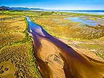
Karamea Otumahana Estuary and Granite Creek at Kongahu. Aerial view over estuary, sand bar and tidal wetland. Aerial view looking south, Karamea, Buller District, West Coast Region, New Zealand (NZ) Stock Photo
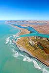
Karamea Otumahana Estuary and Granite Creek at Kongahu. Aerial view over estuary, sand bar and tidal wetland. Aerial view looking south, Karamea, Buller District, West Coast Region, New Zealand (NZ)
 stock photo.")
")