
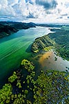
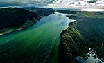
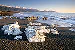
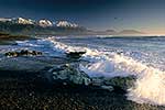
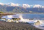
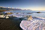
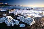
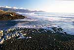
 to Tirua Point far right. Taharoa coastal navigation markers visible. Panorama, Taharoa, Waitomo District, Waikato Region, New Zealand (NZ) stock photo.")
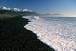
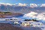
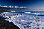
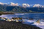
Taharoa coastline looking south past Motunau Rocks and Mt Pehimatea (468M) to Tirua Point far right. Taharoa coastal navigation markers visible. Panorama, Taharoa, Waitomo District, Waikato Region, New Zealand (NZ), stock photo.
- Location:
- Taharoa (other locations)
- District:
- Waitomo (see districts)
- Region:
- Waikato (see regions)
- Country:
- New Zealand (NZ)
- Notes:
- Massive file (35167 x 7453 pixels native, no interpolation). | Ratio (height:width) 1:4.71
- Photographer:
- Rob Suisted
- Image #:
- 58583OP00
Keywords (advanced)
Related images

Similar images


Random images


 to Tirua Point far right. Taharoa coastal navigation markers visible. Panorama, Taharoa, Waitomo District, Waikato Region, New Zealand (NZ)")