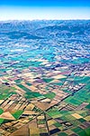
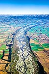
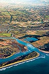
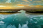
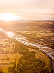
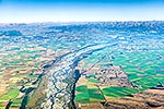
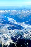
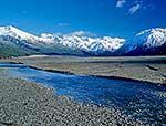
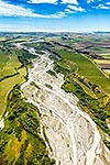
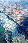
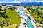
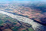
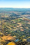
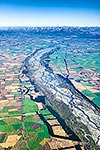
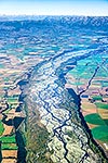
Waimakariri River passing through Canterbury Plains farmland, with pivot irrigation circles visible. Aerial view over dairy farming and arable land mosiacs, Darfield, Selwyn District, Canterbury Region, New Zealand (NZ), stock photo.
These images are protected by copyright, but we license them to suit your needs. Click
'quick quote' to learn more...
Waimakariri River passing through Canterbury Plains farmland, with pivot irrigation circles visible. Aerial view over dairy farming and arable land mosiacs, Darfield, Selwyn District, Canterbury Region, New Zealand (NZ) Stock Photo
Waimakariri River passing through Canterbury Plains farmland, with pivot irrigation circles visible. Aerial view over dairy farming and arable land mosiacs, Darfield, Selwyn District, Canterbury Region, New Zealand (NZ)
 stock photo.")
")