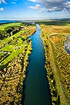
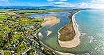
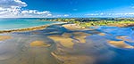
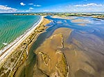
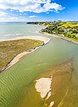
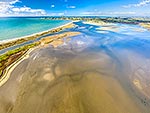
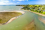
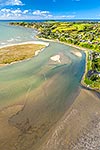
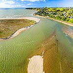
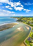
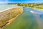
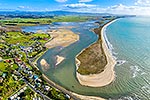
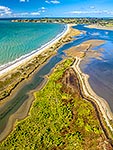
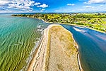
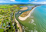
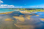
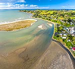
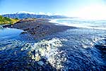
Maketu Estuary and Kaituna River mouth (top centre) looking towards Maketu township. Motouhora Island in distance above town. Aerial view, Maketu, Western Bay of Plenty District, Bay of Plenty Region, New Zealand (NZ), stock photo.
These images are protected by copyright, but we license them to suit your needs. Click
'quick quote' to learn more...
Maketu Estuary and Kaituna River mouth (top centre) looking towards Maketu township. Motouhora Island in distance above town. Aerial view, Maketu, Western Bay of Plenty District, Bay of Plenty Region, New Zealand (NZ) Stock Photo
Maketu Estuary and Kaituna River mouth (top centre) looking towards Maketu township. Motouhora Island in distance above town. Aerial view, Maketu, Western Bay of Plenty District, Bay of Plenty Region, New Zealand (NZ)
 looking towards Maketu township. Motouhora Island in distance above town. Aerial view, Maketu, Western Bay of Plenty District, Bay of Plenty Region, New Zealand (NZ) stock photo.")
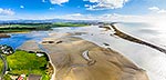


 looking towards Maketu township. Motouhora Island in distance above town. Aerial view, Maketu, Western Bay of Plenty District, Bay of Plenty Region, New Zealand (NZ)")