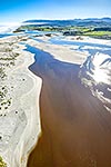
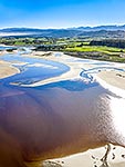
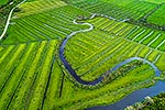
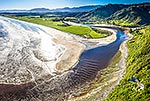
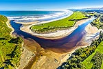
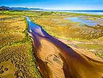
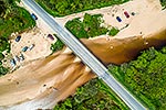
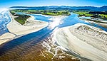
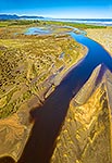
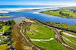
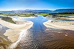
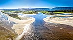
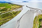
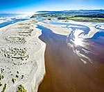
Karamea River mouth and tidal wetland estuary at Maori Point (centre). Karamea township and flats beyond, with the Fenian Range and Kahurangi National Park above. Aerial view, Karamea, Buller District, West Coast Region, New Zealand (NZ), stock photo.
These images are protected by copyright, but we license them to suit your needs. Click
'quick quote' to learn more...
Karamea River mouth and tidal wetland estuary at Maori Point (centre). Karamea township and flats beyond, with the Fenian Range and Kahurangi National Park above. Aerial view, Karamea, Buller District, West Coast Region, New Zealand (NZ) Stock Photo
Karamea River mouth and tidal wetland estuary at Maori Point (centre). Karamea township and flats beyond, with the Fenian Range and Kahurangi National Park above. Aerial view, Karamea, Buller District, West Coast Region, New Zealand (NZ)
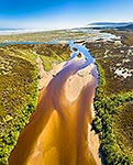
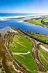
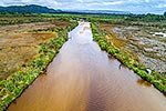
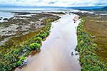
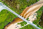
. Karamea township and flats beyond, with the Fenian Range and Kahurangi National Park above. Aerial view, Karamea, Buller District, West Coast Region, New Zealand (NZ) stock photo.")
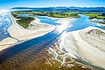
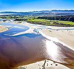
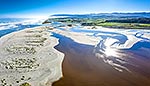
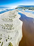
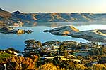


. Karamea township and flats beyond, with the Fenian Range and Kahurangi National Park above. Aerial view, Karamea, Buller District, West Coast Region, New Zealand (NZ)")