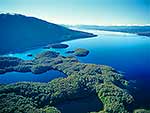
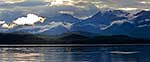
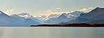
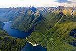
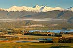
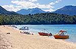
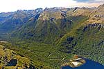
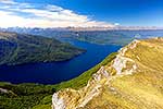
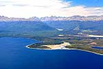
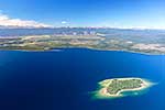
Lake Te Anau at northern head of lake. Aerial view past Lee Island to Safe Harbour (left), Rata Point to Te Waipuke-o-te-horo and the start of the Milford Track Great Walk. Aerial view, square format, Fiordland National Park, Southland District, Southland Region, New Zealand (NZ), stock photo.
These images are protected by copyright, but we license them to suit your needs. Click
'quick quote' to learn more...
Lake Te Anau at northern head of lake. Aerial view past Lee Island to Safe Harbour (left), Rata Point to Te Waipuke-o-te-horo and the start of the Milford Track Great Walk. Aerial view, square format, Fiordland National Park, Southland District, Southland Region, New Zealand (NZ) Stock Photo
Lake Te Anau at northern head of lake. Aerial view past Lee Island to Safe Harbour (left), Rata Point to Te Waipuke-o-te-horo and the start of the Milford Track Great Walk. Aerial view, square format, Fiordland National Park, Southland District, Southland Region, New Zealand (NZ)
, Rata Point to Te Waipuke-o-te-horo and the start of the Milford Track Great Walk. Aerial view, square format, Fiordland National Park, Southland District, Southland Region, New Zealand (NZ) stock photo.")
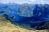
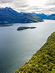
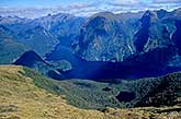
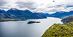

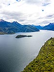


, Rata Point to Te Waipuke-o-te-horo and the start of the Milford Track Great Walk. Aerial view, square format, Fiordland National Park, Southland District, Southland Region, New Zealand (NZ)")